- Email us at
[email protected] - Questions? Give us a call
503-773-6949
Safe Utility Potholing – Vacuum Excavation in Sandy, OR
Precision Underground Utility Location for Oregon’s Mt. Hood Gateway Community
Sandy is the second-fastest growing city in Oregon, and that pace of construction creates constant demand for verified underground utility positions. Beneath this 13,200-person Cascade foothills community, volcanic ash deposits from Mount Hood mix with ancient lahar debris flows, creating subsurface conditions unlike anywhere else in the metro area.
- Licensed Oregon contractor — CCB #176278 — fully bonded and insured
- Equipped for volcanic ash, lahar deposits, and Sandy River corridor soils
- Serving Sandy from Damascus, approximately 20 minutes west via OR-212 and US-26
What Is Utility Potholing?
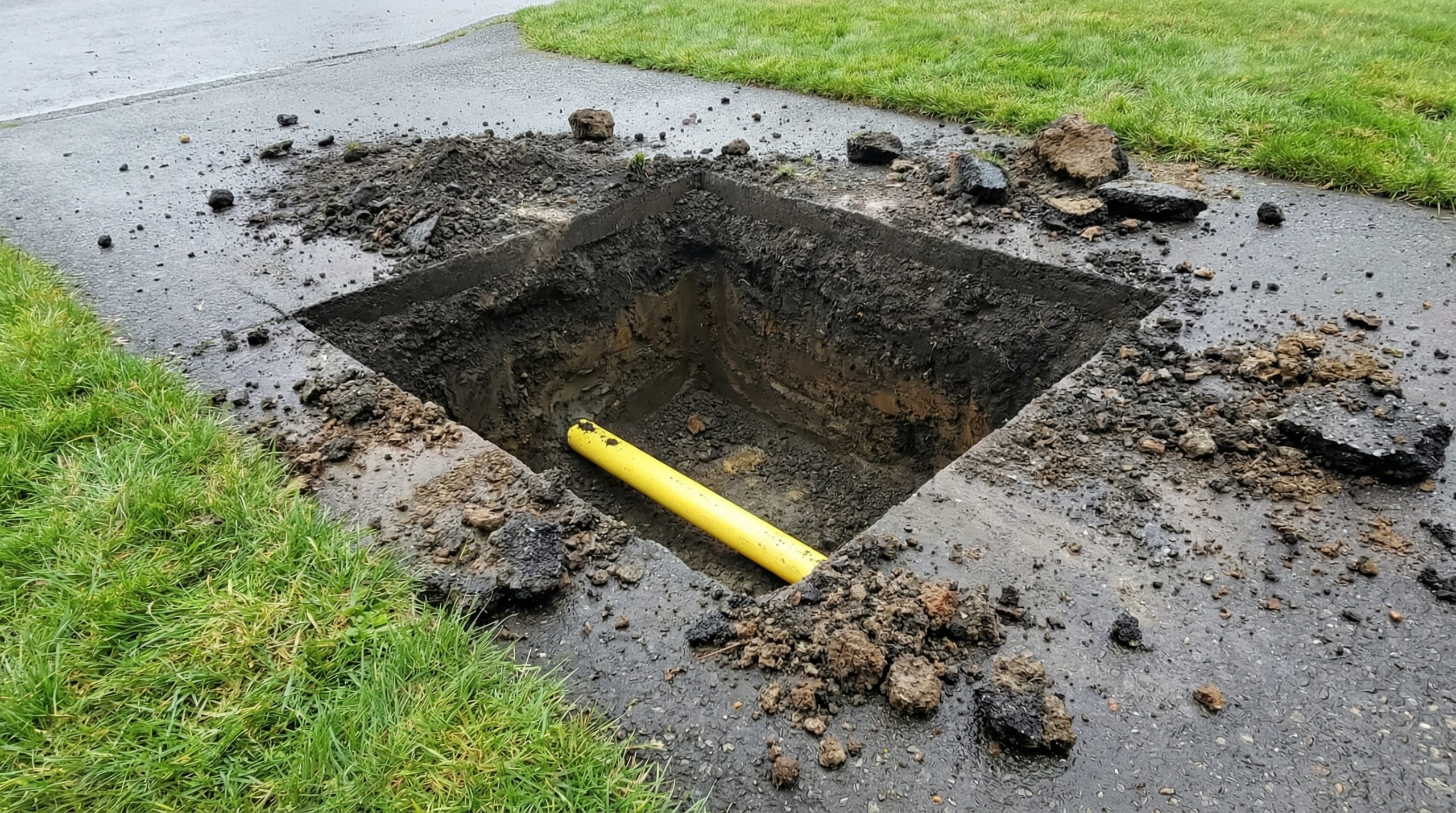
Utility potholing involves creating a small, controlled excavation to visually confirm the precise position of a buried utility line. Rather than scraping earth with a backhoe bucket that cannot distinguish soil from pipe, potholing uses vacuum extraction to draw material away from the utility with suction.
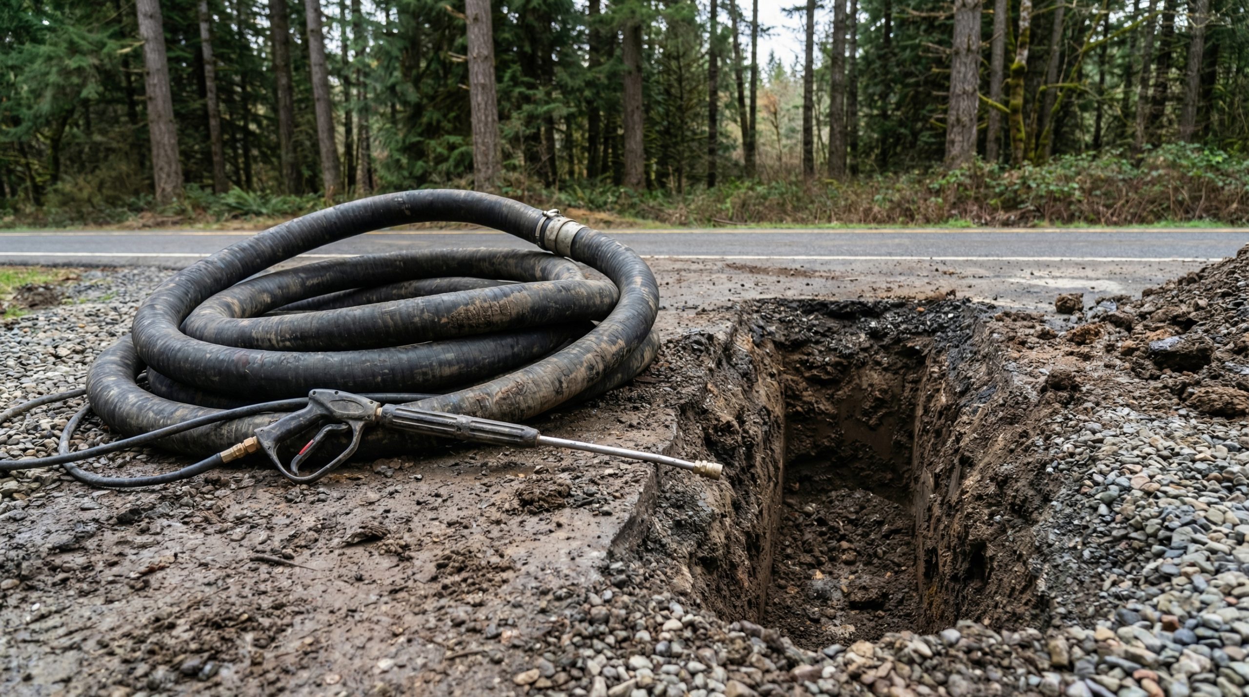
Soft digging describes vacuum-assisted excavation methods in two primary forms. Hydro excavation directs a pressurized water stream to break apart soil while a vacuum simultaneously collects the loosened material into a debris tank.
Sandy’s construction boom means new subdivisions are extending utility networks into terrain that was forested hillside a decade ago. Contractors building in Bornstedt Village, along Champion Way, or in southern expansion areas need verified clearances before trenching through ground that may contain both the original rural water service and new municipal mains installed during annexation.
Potholing vs. Daylighting Utilities: What You Need to Know
Both methods use non-destructive vacuum excavation but address different project requirements. In Sandy, the choice depends on whether you need to verify a single crossing beneath Pioneer Boulevard or expose an extended run of infrastructure for replacement.
1. Targeted Utility Potholing
A targeted pothole creates a compact test opening — twelve to eighteen inches in diameter — directly above a suspected utility. The objective is confirming depth, material, and alignment at a discrete point.
2. Utility Daylighting
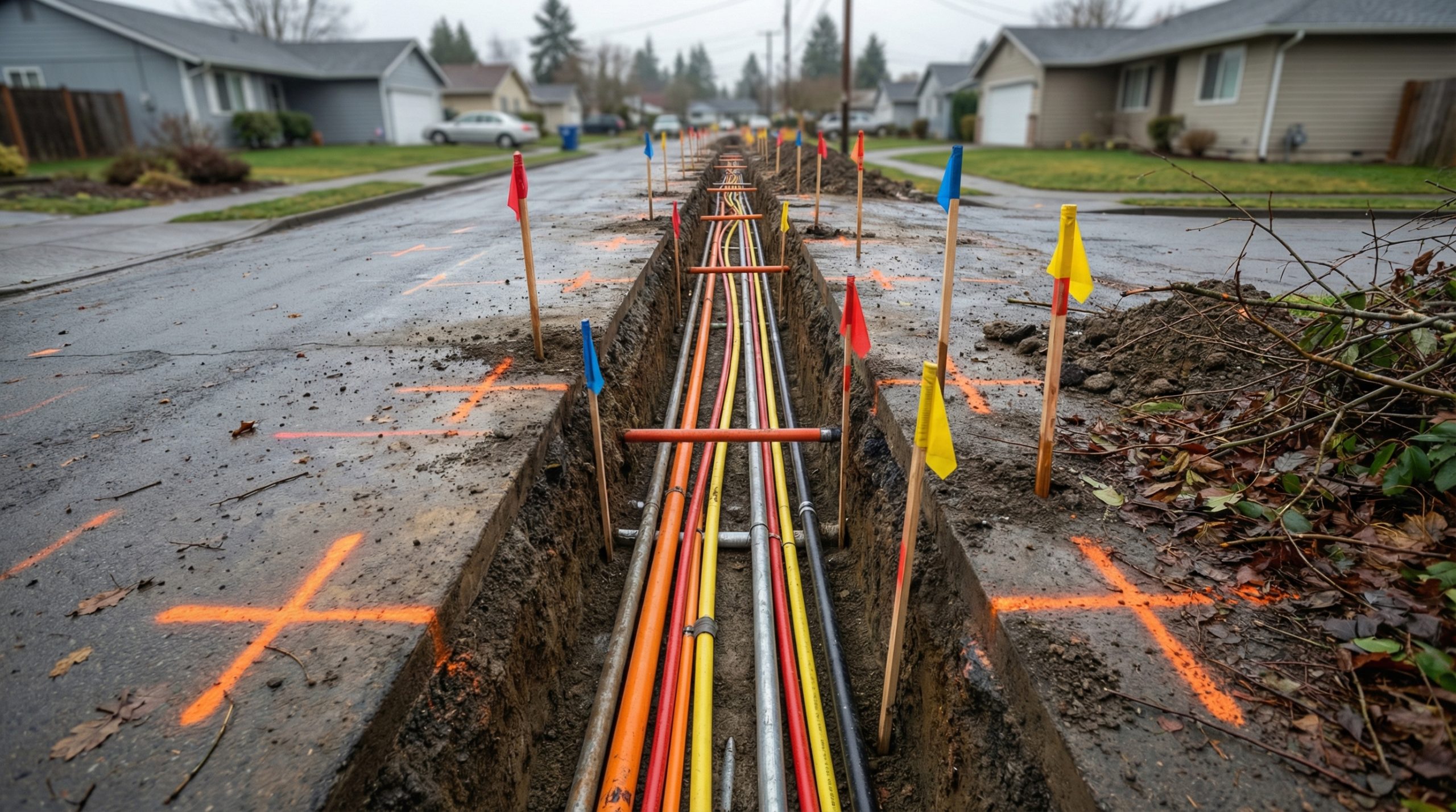
Daylighting uncovers a continuous section of buried utility for thorough inspection, repair planning, or connection preparation. Along Sandy’s older downtown core, where mid-century commercial buildings share utility corridors with newer municipal infrastructure, daylighting reveals material transitions, joint conditions, and depth variations that isolated potholes cannot capture.
The Benefits of Non-Destructive Excavation
Sandy’s rapid growth means new and old utility infrastructure increasingly overlap. Rural service lines with minimal documentation share corridors with modern municipal mains. This layering creates elevated strike risk that vacuum potholing directly addresses.
1. Damage Prevention & Safety
A single Sandy subdivision may contain original rural water service from the 1970s, a municipal sewer main from the 2000s, gas service of indeterminate vintage, and telecom conduit installed last year. Subsurface densities compound as the city grows.
2. Cost Savings
In a city adding hundreds of residential units per year, construction schedules are tightly sequenced. A utility strike triggers work stoppages, emergency response, regulatory notifications, and downstream delays across interconnected projects. Pre-construction potholing is an investment measured in hours that prevents losses measured in weeks.
3. Precision in Tight Spaces
Sandy’s wooded terrain and sloped lots create natural access constraints. New homes along Bluff Road and Ten Eyck Road sit on hillsides where tracked excavators risk slope destabilization. Infill construction along US-26 presents the opposite challenge — narrow commercial setbacks with zero room for heavy equipment error.
Our Vacuum Excavation Equipment and Methods
Our truck-mounted vacuum units produce over 5,000 CFM of suction with adjustable water-jet pressure calibrated for Sandy’s diverse subsurface. Loose volcanic ash requires lower pressure to prevent over-excavation, while cemented lahar deposits demand maximum output with rotary cutting nozzles.
Extension wands access depths exceeding fifteen feet — necessary where lahar debris forced original installers to route lines at unusual elevations. When working along the US-26 corridor or beneath Sandy’s residential streets, our equipment operates through surface openings typically under two square feet, minimizing disruption to traffic and adjacent properties.
Our Utility Exposure Process
Every Sandy potholing project follows our structured four-step process, adapted for the volcanic and lahar-influenced conditions specific to this Mt. Hood gateway community.
Step 1: Site Assessment & Locating
We review OUNC locate markings and available as-built records, supplementing with electromagnetic tracing and ground-penetrating radar. In Sandy, where rapid growth has layered multiple generations of utility infrastructure, GPR is particularly valuable for identifying abandoned or relocated lines that still appear on older records.
Step 2: Safe Excavation
Test holes are created using the hydro or air method suited to specific site conditions. Sandy’s volcanic loam excavates quickly at moderate pressure, but lahar zones — cemented volcanic debris with embedded cobbles and boulders — require elevated pressure and rotary nozzles.
Step 3: Verification
Each exposed utility is documented with engineering-grade precision: depth below grade, horizontal offset from permanent surface references, material type, diameter, and observable condition. GPS-referenced photographs create a permanent record for project engineering drawings, city permit compliance, and future maintenance planning.
Step 4: Backfilling & Site Cleanup
Excavated material is returned to each hole in compacted lifts. Sandy’s volcanic soils compact predictably when properly moistened and layered. Paved surfaces receive cold patch or coordinated permanent restoration. Landscaping and gravel surfaces are returned to pre-work condition.
Trusted Excavation Experts in Sandy
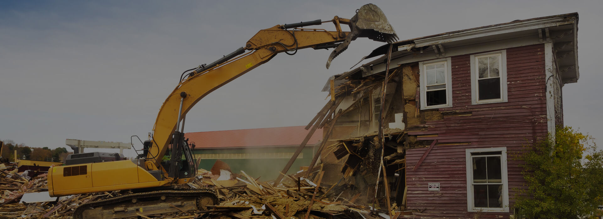
Prodan Construction LLC (CCB #176278) serves contractors, engineers, developers, and homeowners throughout Sandy and the Mt. Hood corridor. Beyond potholing, we provide demolition, land clearing, and retaining wall construction — a single-source partner for site preparation.
From Damascus, we reach Sandy in about twenty minutes via US-26. Our crews know Sandy’s volcanic ash, lahar deposits, and forested hillside lots firsthand. When your Sandy project demands verified utility positions, call the team that understands this ground. Call Prodan Construction.
Frequently Asked Questions About Potholing & Soft Digging in Sandy
How do lahar deposits near Sandy affect vacuum excavation?
Lahar deposits are cemented volcanic debris flows containing cobbles and boulders in aite matrix. They are significantly harder than typical soil but respond to high-pressure hydro excavation with rotary cutting nozzles. Production rates are slower than in loose volcanic ash, but our equipment handles lahar material effectively at standard utility depths.
Is utility potholing required for new construction in Sandy?
The City of Sandy does not universally require potholing, but OUNC notification is mandatory before any excavation. Engineers and general contractors increasingly require potholing as standard practice for new subdivisions, directional drilling, and projects near existing utility corridors.
Can you pothole in Sandy’s flood and lahar hazard zones?
Yes. We work in designated hazard zones along the Sandy River corridor and in areas mapped for lahar risk. Special attention to soil stability and water management ensures safe excavation even in these sensitive areas.
How fast can you respond to a potholing request in Sandy?
Standard projects in Sandy are typically scheduled within two to three business days. Emergency utility exposure for active construction or suspected damage can usually be arranged within twenty-four hours, depending on equipment availability. Call (503) 773-6949 to discuss your project needs and timeline.
Schedule Your Utility Potholing Service in Sandy Today
Whether you are developing subdivisions south of town, extending utilities along US-26, routing service through volcanic ash in Bornstedt Village, or verifying clearances near lahar deposits along the Sandy River, Prodan Construction delivers the accurate, non-destructive potholing Sandy’s builders depend on.
Call us at (503) 773-6949 or send us a message to request your free utility potholing estimate in Sandy.
Quick Links
Services
Contact Us
- Address:
20500 SE Hwy 212, Damascus, OR 97089 - Phone:
503-773-6949 - Email:
[email protected]
Oregon CCB # 176278